
Walk a Lynnwood Street
A reliable street-by-street search moves from place to record, not from a surname to a guess. First confirm that the address is inside Lynnwood rather than merely using Lynnwood as its postal city. Then standardize the delivery form. The county parcel record supplies the durable identifiers needed for every later check: parcel number, situs address, legal description, owner or taxpayer, and map position.
Keep each source in its own lane. The assessor shows the current tax account. Recording shows the instrument that transferred or burdened the land. A voter source is governed by election law and is not a casual street roster. A city directory is a dated publisher snapshot. Follow this Lynnwood street directory sequence:
- Check the complete address against Lynnwood's municipal boundary and use USPS to normalize the postal form.
- Search the Snohomish County Assessor by address, then save the full parcel ID, situs, taxpayer, and legal description.
- Open SCOPI, select the parcel, and inspect adjoining lots, labels, aerial years, and the Property Account Summary link.
- Search Snohomish Recorded Documents by parcel, legal description, party, or date to identify the deed chain.
- For a past household, consult the street section of a dated regional directory and record its year, title, and exact printed address.
That flow separates ownership, occupancy evidence, and geography. It also makes a later correction possible because every name remains attached to a parcel, volume, or instrument.
Lynnwood Street Search Fields
The Snohomish County Assessor Property Search is the most direct official start for a modern Lynnwood address. Its instructions accept a 14-digit real-property parcel or a street string. A broad street name can find several accounts, while a complete address targets one site. The wildcard form helps when a suffix or house number is uncertain.
| Search input | Form | How to use it |
|---|---|---|
| Parcel | 14 digits for real property | Use the full account identifier when known. |
| Street name | MAIN | Returns address matches tied to that street text. |
| Full address | 123 MAIN ST | Targets the normalized situs address. |
| Wildcard | 123* | Broadens a partial house-number search. |
The account summary can carry property information, maps, transfer history, tax-year values, structure facts, tax balance, and payment or tax history. Its owner and taxpayer fields are useful, but they are not a list of residents. The official assessor screen shown here documents the supported formats.
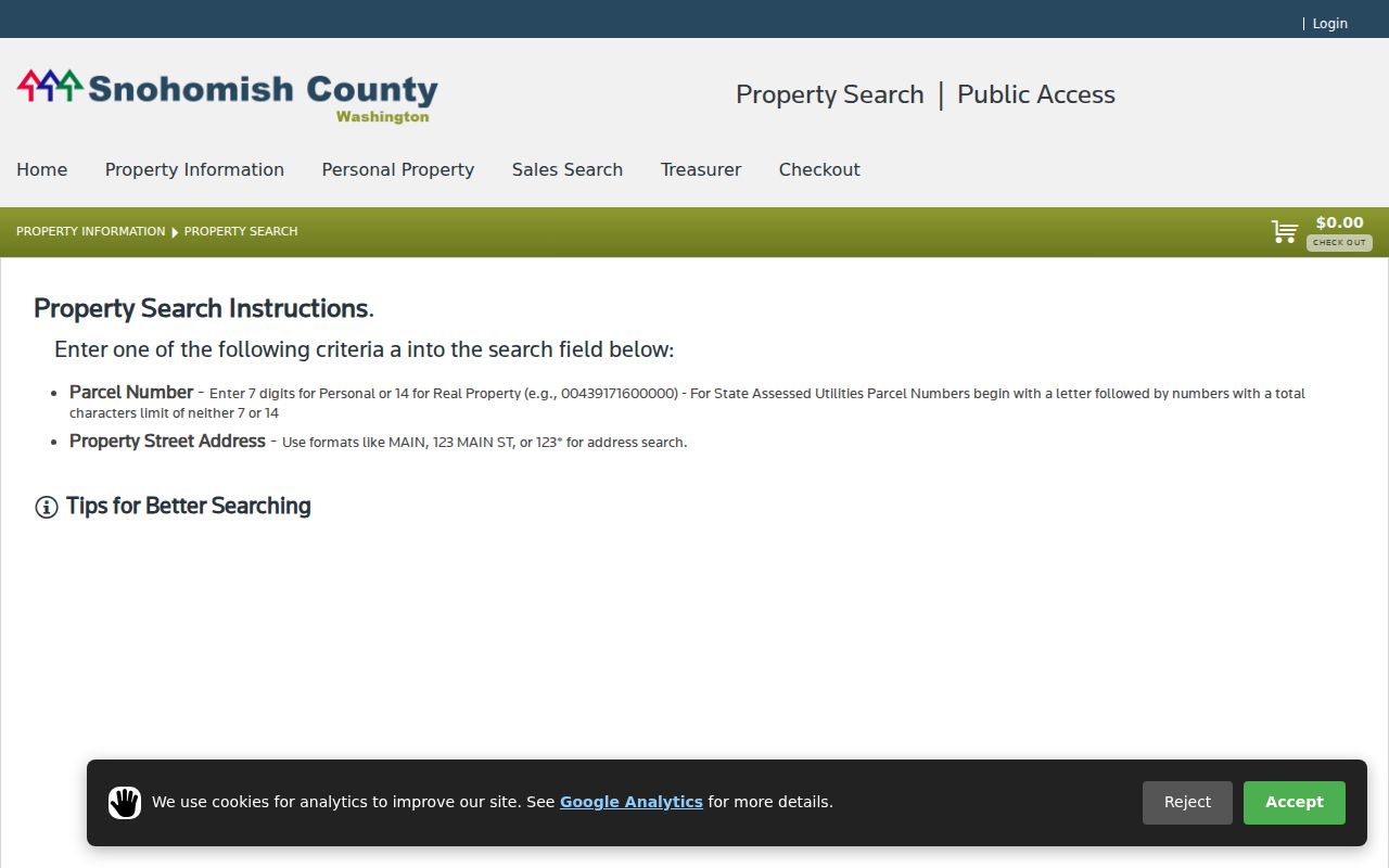
The image is a starting screen, so the record still needs a live account result and its lookup date.
Map Lynnwood Streets in SCOPI
Snohomish County Online Property Information, or SCOPI, turns an address result into a parcel map. Search an address or parcel, turn on parcel outlines, and click one lot at a time. The selected panel can show Parcel ID, Property Address, Owner, Taxpayer, gross acres, market value, and tax code area. The account-summary link adds legal and tax detail.
House-number and parcel-number labels depend on map scale. Recent Sales covers defined market transactions from January 1, 2024 forward and omits several non-market transfer types. Appraisal Neighborhoods use seven-digit IDs, and aerial imagery is described for 2017, 2018, 2020, 2021, 2022, and 2024. None of those image dates proves who was present on the capture date.
The SCOPI instructions captured here show the county's parcel-viewer entry point.
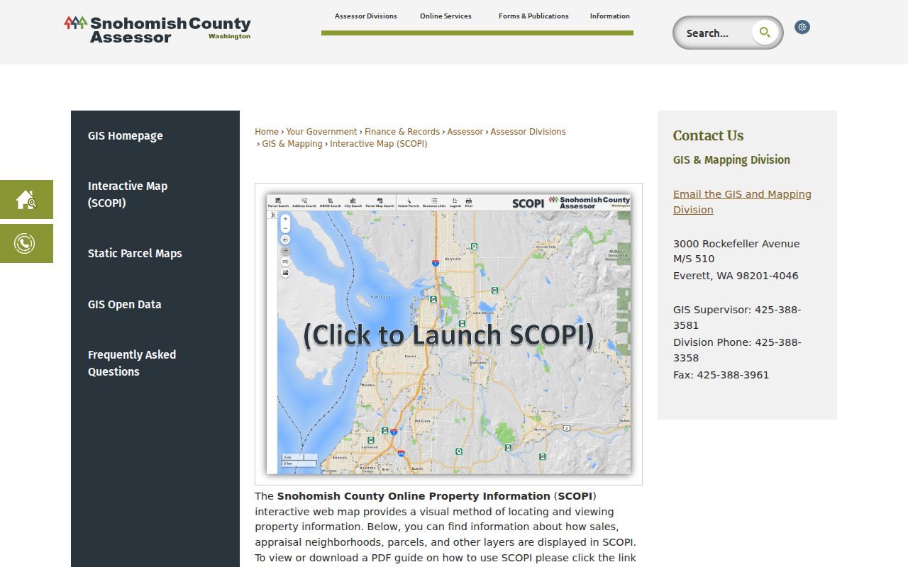
Use the map to collect parcel IDs, then return to account and deed records for source facts.
Lynnwood Records Indexed by Address
No official tool produces one complete list of people on a Lynnwood street. Instead, several custodians index different facts by address, parcel, party, or legal description. This coverage table keeps their claims distinct.
| Record source | Address key | What it can establish | Access route |
|---|---|---|---|
| USPS lookup | Delivery address | Standard postal form and ZIP pairing | Public online lookup |
| Assessor account | Situs or parcel | Owner, taxpayer, legal and tax context | Public portal |
| SCOPI | Address, parcel, or map click | Parcel geometry, selected owner, map layers | Public map |
| Recorded documents | Parcel or legal description | Deeds, liens, plats, parties, dates | Online index; older microfilm |
| Lynnwood permits | Address, owner, parcel, permit or map number | Applications and status after portal cutoff | Portal; city request for older files |
| Printed directories | Street and house number | Dated occupant or business entry when listed | Library or society collection |
A parcel ID is the best bridge among county systems. A printed address is the bridge to a reverse directory, while the legal description connects a modern street label to older land records.
Note: A tax mailing address may belong to an agent, trust, business, or owner elsewhere, so never treat it as an occupant list.
Lynnwood Street Record Terms
Four terms prevent common errors in an address search. Define them before copying results into a family or property worksheet.
- Parcel
- A county tax unit with its own account identifier. One site may involve more than one parcel.
- Situs address
- The physical address assigned to the land, which may differ from the taxpayer's mailing address.
- Plat
- A recorded map that identifies a subdivision, lots, blocks, roads, and other land features.
- Criss-cross directory
- A directory arranged by street and house number, allowing an address-first search in a specific year.
SCOPI can label condominium common elements as shared-interest parcels, and some map gaps appear as “Not a Legal Tax Parcel.” In either case, inspect associated parcels and the recorded plat. A label near a street is not enough to assign ownership.
Deeds Along a Lynnwood Street
The Snohomish County Recorded Documents Search covers most documents from July 1976 forward. Search categories include party name in last-name, first-name order, document type, recording number, date, the first ten parcel digits, book and page, and legal description. A free account has been required for online access since March 2, 2026.
Start with the parcel and legal description copied from the assessor. Open the newest purchase deed and note its recording number, date, grantor, grantee, and description. Grantor means the party transferring an interest; grantee means the party receiving it. Then follow the prior party and same land description backward. Trust, estate, company, quitclaim, and transfer-on-death instruments need careful reading. Even a deed does not prove that its grantee lived at the situs.
The county deed-search page captured here explains the index cutoff and search channels.
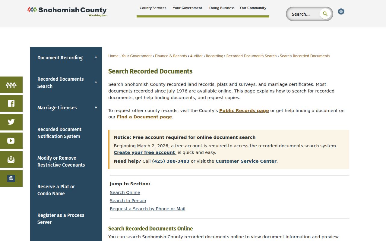
When the online trail reaches the cutoff, use Everett counter microfilm, public computers, phone or mail help, or a paid pre-1976 research request. The Washington Digital Archives land title is another channel.
Lynnwood Permit Records by Street
Lynnwood's permit system adds a city record to the county land chain. The Online Permit Portal Help Guide says users may search by address, owner, parcel, permit number, or map. Online applications begin after January 10, 2024. A permit may date construction, demolition, additions, inspections, or the party responsible for an application. It is not an occupancy roll and does not replace a deed.
Older permits and fuller code files require a City of Lynnwood public-records request. That fallback matters whenever “no result” appears online. Save the address form used, parcel number, likely date range, and any known permit number so city staff can identify an existing record without having to create a new list.
The city permit help screen shown here marks the modern portal route.
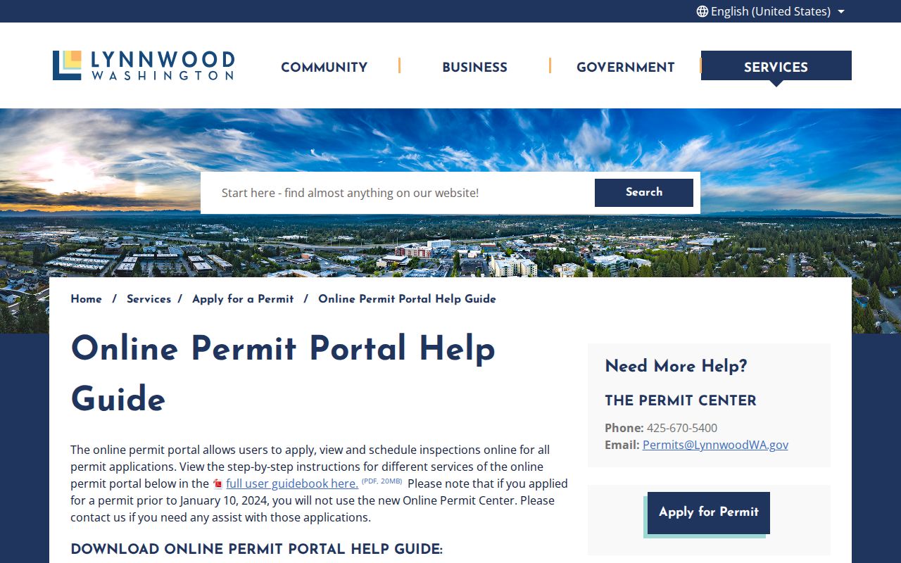
A permit result can enrich a street history, but its applicant or owner field should remain dated to that application.
Older Lynnwood Street Names
Lynnwood incorporated in 1959, while Alderwood Manor began as a planned agricultural community in 1917. Older records may place the same area under Alderwood Manor, Alderwood, South Snohomish, Edmonds vicinity, or a regional route. The city boundary, postal city, county parcel map, census unit, and directory coverage are separate layers. That geography is a prime source of false negative searches.
Try each historical locality in a catalog, newspaper database, and alphabetical directory section. In a reverse section, preserve the exact printed street and house number. Then use a plat and legal description to test whether the old address points to the modern parcel. No official source confirms a specific Lynnwood renumbering year, so do not assign one. Maps and deeds should carry the continuity claim.
Does a Lynnwood ZIP prove the site is in Lynnwood? No. USPS controls delivery labels, while the city controls its municipal line. Confirm both before calling an address a city record.
Lynnwood Streets in Print
A reverse or criss-cross volume can name a listed occupant at a house number for one publication year. Cataloged local anchors include Polk's Lynnwood volumes for 1970, 1971, and 1973, a 1974 North King County–South Snohomish directory, and North Seattle Suburban editions for 1980–81 and 1982. These holdings are not a continuous annual roll.
Use the street section first, then compare the alphabetical entry for spouse notation, occupation, employer, phone, and any publisher symbol. The volume's front matter controls abbreviations and geographic scope. Absence may mean the publisher skipped the address, used another locality, listed only a telephone subscriber or head of household, or did not publish that year. For the collections themselves, consult the Lynnwood city directory page.
Note: Label a printed find “listed in” its exact year, title, and page, not “currently lives at” the address.
Lynnwood Voter Street Limits
VoteWA is a personal registration check using first name, last name, and full date of birth. It is not an anonymous by-street browse tool. The state VRDB extract can include public fields such as name, address, political jurisdiction, gender, year of birth, voting record, registration date, and registration number. It does not reveal ballot choices or party preference.
Snohomish County directs voter-data requests to the Secretary of State under current legislation. State law bars use of voter lists for advertisements, offers, and solicitations. Full birth date, identification numbers, signature, certain contact data, and protected addresses are not ordinary public fields. Address Confidentiality Program participants can use a substitute address. Do not attempt to infer an actual address from other records.
Limits of Lynnwood Street Directories
A property owner may live elsewhere. A taxpayer address may route to an agent. A directory entry may be old, and a permit applicant may be a contractor or company. USPS says its ZIP tool does not confirm that a person or business is at an address. Utilities and motor-vehicle address data are not public resident lists. These limits are why a careful Lynnwood street directory result states the source, date, and narrow fact actually shown.
Use a whole-street search for lawful family history, parcel research, civic review, or a dated neighborhood study. Narrow the request to parcels and dates that answer the question. If a source displays a protected or clearly sensitive address, stop. Contact the custodian rather than the named person when the issue is a record.
Lawful use. Lynnwood street and address records may be used only for lawful research. Never use them to stalk, harass, threaten, or defeat an address-protection program.
One record supports one claim. Ownership, registration, a printed listing, and physical presence are not interchangeable facts.